Project Overview

Archaeology Menu:

Get Full Report


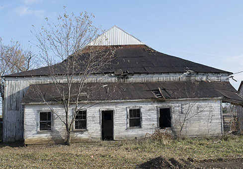
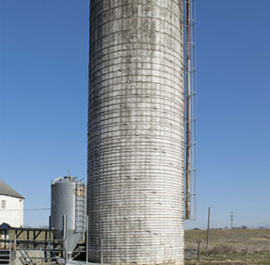
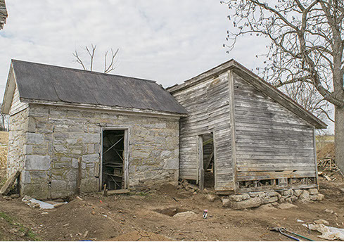
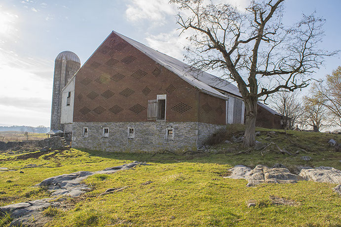
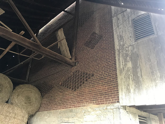
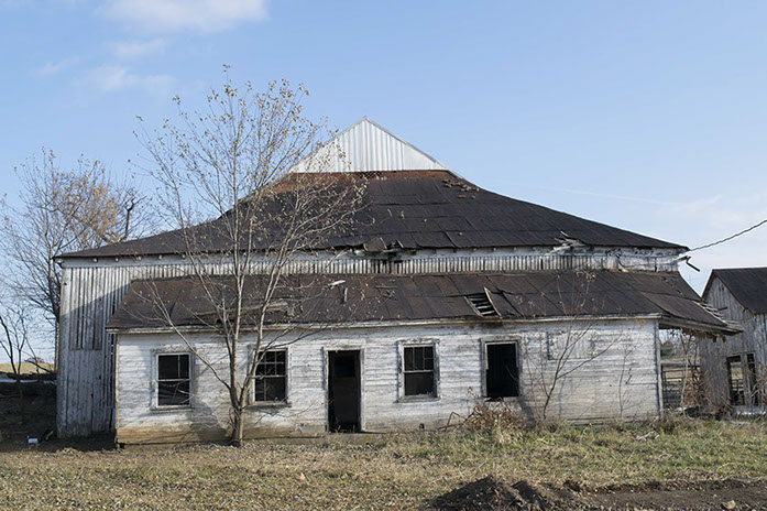
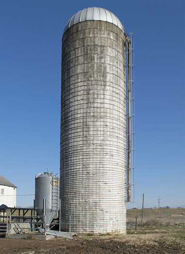
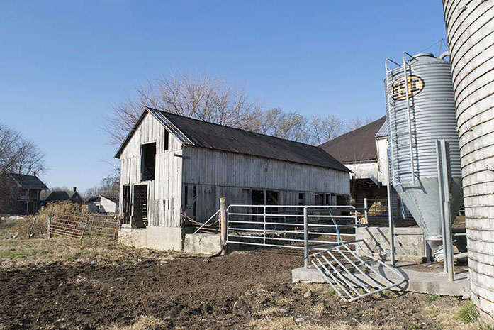
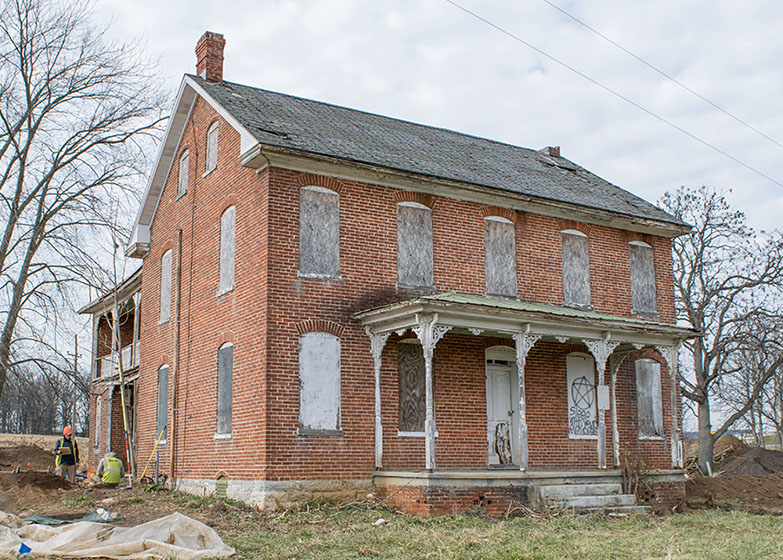
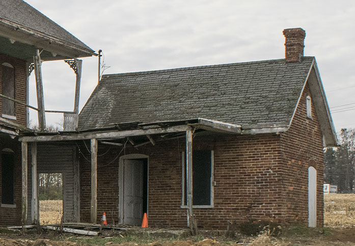
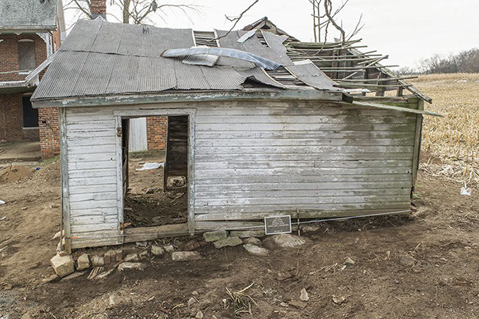
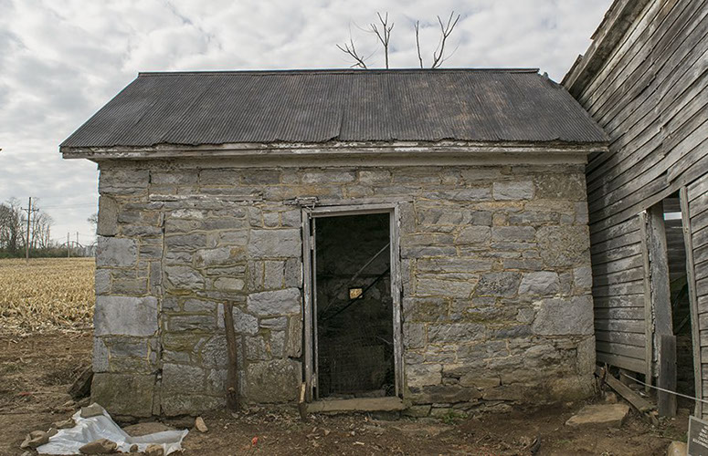
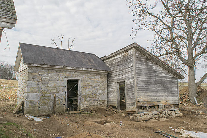
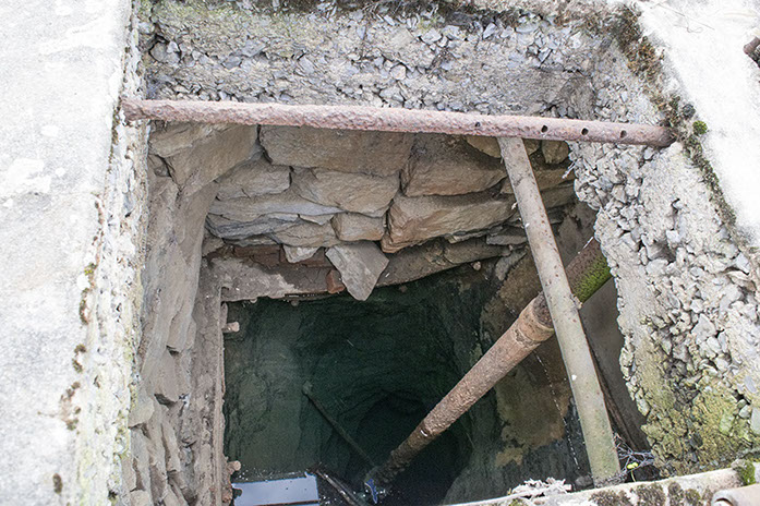
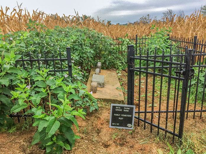
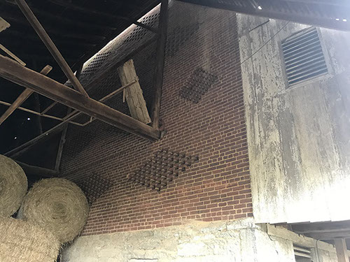
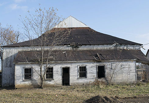
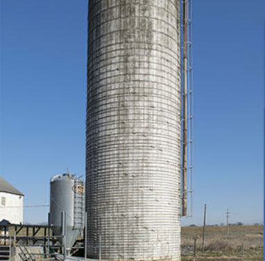
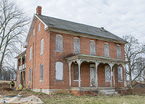
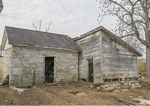
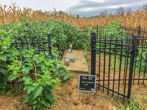
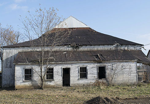
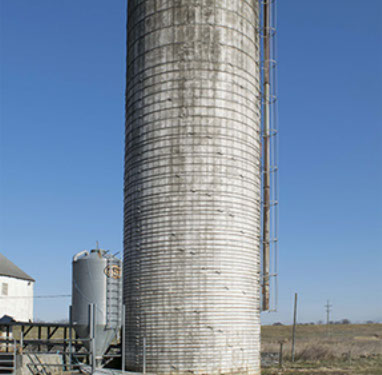
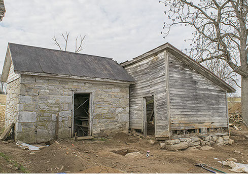
Project Purpose AECOM, on behalf of Airport Design Consultants, Inc. (ADCI), conducted an archaeological investigation at the Brumbaugh-Kendle-Grove (BKG) Farmstead before the building complex was demolished in 2019. The farmstead (Maryland Inventory of Historic Properties WA-I-480) was previously determined to be eligible for listing in the National Register of Historic Places and also contained an archaeological site registered with the Maryland Historic Trust (site 18WA496). The farmstead, located on the east side of MD Route 11 (Pennsylvania Avenue) in Hagerstown, Maryland, was demolished as part of an expansion project for the Hagerstown Airport carried out by Washington County. The archaeological site encompassed the core of the historic farmstead, including the standing house, barn, outbuildings, and surrounding lawns. The investigation was carried out in accordance with the terms of a Memorandum of Agreement (MOA) between the Federal Aviation Administration, Washington County, and the Maryland Historical Trust, executed on 6 May 2011. In order to satisfy the provision of the MOA and ensure compliance with Section 106 of the National Historic Preservation Act of 1966, AECOM conducted archaeological survey, excavation, and architectural history survey and recordation. The archaeological investigation included site-specific and contextual historical research, geophysical survey, Phase I testing, Phase II–III excavations, and demolition monitoring. This multiphased effort was conducted during the fall and winter of 2017 and resulted in the identification of 106 historical features including structural foundations, cisterns, a privy, pathways, postholes, and landscape features dating from the mid-eighteenth century through to the modern day. Three separate building phases were identified for the main dwelling, and the evolution of the farmstead layout was documented through time. ﷯ ﷯ Photo Gallery
Project Overview
Project Purpose AECOM, on behalf of Airport Design Consultants, Inc. (ADCI), conducted an archaeological investigation at the Brumbaugh-Kendle-Grove (BKG) Farmstead before the building complex was demolished in 2019. The farmstead (Maryland Inventory of Historic Properties WA-I-480) was previously determined to be eligible for listing in the National Register of Historic Places and also contained an archaeological site registered with the Maryland Historic Trust (site 18WA496). The farmstead, located on the east side of MD Route 11 (Pennsylvania Avenue) in Hagerstown, Maryland, was demolished as part of an expansion project for the Hagerstown Airport carried out by Washington County. The archaeological site encompassed the core of the historic farmstead, including the standing house, barn, outbuildings, and surrounding lawns. The investigation was carried out in accordance with the terms of a Memorandum of Agreement (MOA) between the Federal Aviation Administration, Washington County, and the Maryland Historical Trust, executed on 6 May 2011. In order to satisfy the provision of the MOA and ensure compliance with Section 106 of the National Historic Preservation Act of 1966, AECOM conducted archaeological survey, excavation, and architectural history survey and recordation. The archaeological investigation included site-specific and contextual historical research, geophysical survey, Phase I testing, Phase II–III excavations, and demolition monitoring. This multiphased effort was conducted during the fall and winter of 2017 and resulted in the identification of 106 historical features including structural foundations, cisterns, a privy, pathways, postholes, and landscape features dating from the mid-eighteenth century through to the modern day. Three separate building phases were identified for the main dwelling, and the evolution of the farmstead layout was documented through time. ﷯ ﷯ Photo Gallery
Project Overview
Project Purpose AECOM, on behalf of Airport Design Consultants, Inc. (ADCI), conducted an archaeological investigation at the Brumbaugh-Kendle-Grove (BKG) Farmstead before the building complex was demolished in 2019. The farmstead (Maryland Inventory of Historic Properties WA-I-480) was previously determined to be eligible for listing in the National Register of Historic Places and also contained an archaeological site registered with the Maryland Historic Trust (site 18WA496). The farmstead, located on the east side of MD Route 11 (Pennsylvania Avenue) in Hagerstown, Maryland, was demolished as part of an expansion project for the Hagerstown Airport carried out by Washington County. The archaeological site encompassed the core of the historic farmstead, including the standing house, barn, outbuildings, and surrounding lawns. The investigation was carried out in accordance with the terms of a Memorandum of Agreement (MOA) between the Federal Aviation Administration, Washington County, and the Maryland Historical Trust, executed on 6 May 2011. In order to satisfy the provision of the MOA and ensure compliance with Section 106 of the National Historic Preservation Act of 1966, AECOM conducted archaeological survey, excavation, and architectural history survey and recordation. The archaeological investigation included site-specific and contextual historical research, geophysical survey, Phase I testing, Phase II–III excavations, and demolition monitoring. This multiphased effort was conducted during the fall and winter of 2017 and resulted in the identification of 106 historical features including structural foundations, cisterns, a privy, pathways, postholes, and landscape features dating from the mid-eighteenth century through to the modern day. Three separate building phases were identified for the main dwelling, and the evolution of the farmstead layout was documented through time. ﷯ ﷯ Photo Gallery